Bruin Point
Amongst the Mines
The trail to Bruin Point traverse a portion of the Book Cliffs that takes you by old mining ruins with an abandoned tram system still in place.
A Rugged
Ride
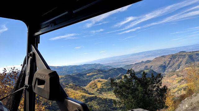
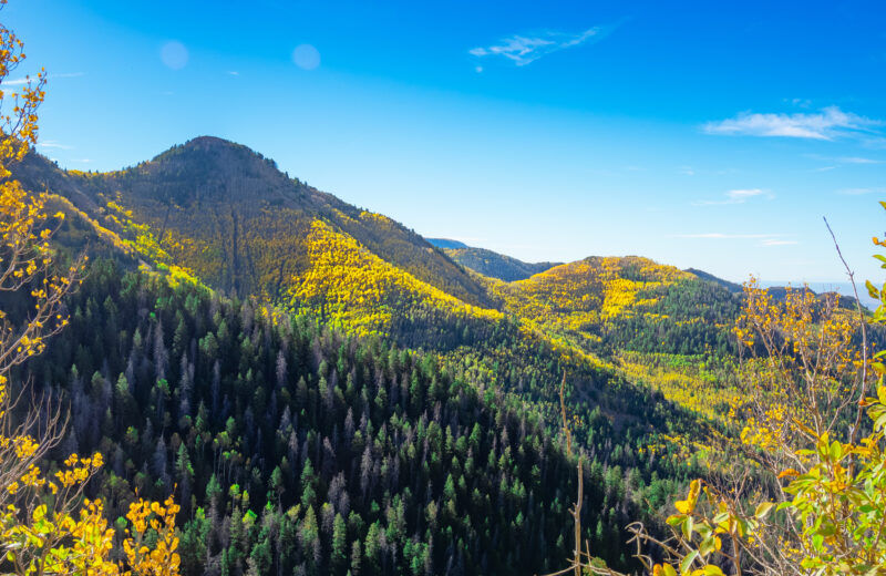
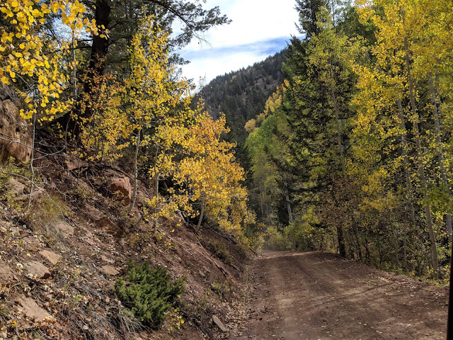
Bruin Point is a high mountain that peaks at over 10,000 feet above sea level. The trail to the summit is an unpaved rocky road ideal for OHVing or horseback riding. The road is narrow, steep and winding, making for some white knuckle moments.
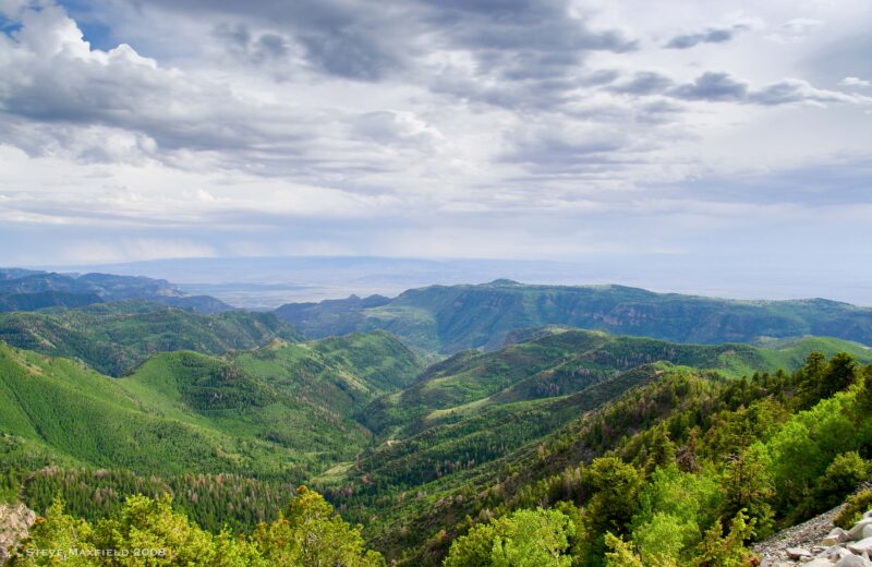
At the top, you get a view of the valley below, depending on the weather you can quite literally see for miles.

LOCATION
Head east out of Price on Highway 6, turn east on Highway 123 heading towards Sunnyside. On the other side of town the highway turns north and you are looking for a sign on the right that says “Bruin Point 5.5 miles.” Follow this road as it climbs very steep at times to the highpoint. At Bruin Point are several roads in different directions, stay left to get to the top.
SERVICES
No services available


