Interactive Maps
Publicly Available Maps
The GIS Department offers a number of online services for both the public and County Departments. Please use the maps above to access them.
OFFICE LOCATION
751 E 100 N
Price, UT 84501
HOURS
Mon - Thurs, 8am - 5pm
Closed Weekends & Holidays
DEPARTMENT(S)
PHONE
(435) 636-3763
AFTER HOURS
Leave a voicemail or Email
gis@carbon.utah.gov
SOCIAL MEDIA
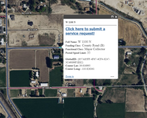
Explore many layers of data for Carbon County, such are property lines, zoning, voting, roads, and more!
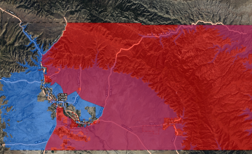
Research a location to develop your business with this map showing incentive locations.
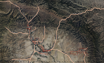
Discover your next outdoor adventure in the Carbon Corridor.
Map Downloads
The following maps can be downloaded and saved to your device for offline use.
4
Thumb Name Size

Carbon-County-Master-Transportation-CarryMap.cmf2
Carbon County Master Transportation CarryMap.cmf2
application/octet-streamCarbon County Master Transportation CarryMap.cmf2
Download
10.5 MB
2024-10-03
October 3, 2024
2022-04-05
April 5, 2022
10.5 MB

Nine-Mile-Tour-CarryMap.cmf2
Nine Mile Tour CarryMap.cmf2
application/octet-streamNine Mile Tour CarryMap.cmf2
Download
167.44 MB
2024-10-03
October 3, 2024
2019-05-22
May 22, 2019
167.44 MB

Castle-Country-Trail-System-Map.pdf
Castle Country Trail System Map.pdf
application/pdfCastle Country Trail System Map.pdf
Open
Download
5.52 MB
2024-10-03
October 3, 2024
2014-02-20
February 20, 2014
5.52 MB
3
69eb63a077
| Thumb | Name | Size |
|---|---|---|
 |
Carbon-County-Master-Transportation-CarryMap.cmf2
Carbon County Master Transportation CarryMap.cmf2 application/octet-streamCarbon County Master Transportation CarryMap.cmf2 Download 10.5 MB 2024-10-03 October 3, 2024 2022-04-05 April 5, 2022 |
10.5 MB |
 |
Nine-Mile-Tour-CarryMap.cmf2
Nine Mile Tour CarryMap.cmf2 application/octet-streamNine Mile Tour CarryMap.cmf2 Download 167.44 MB 2024-10-03 October 3, 2024 2019-05-22 May 22, 2019 |
167.44 MB |
 |
Castle-Country-Trail-System-Map.pdf
Castle Country Trail System Map.pdf application/pdfCastle Country Trail System Map.pdf Open Download 5.52 MB 2024-10-03 October 3, 2024 2014-02-20 February 20, 2014 |
5.52 MB |
3


